July 5 – July 12, 2023

Port Hardy
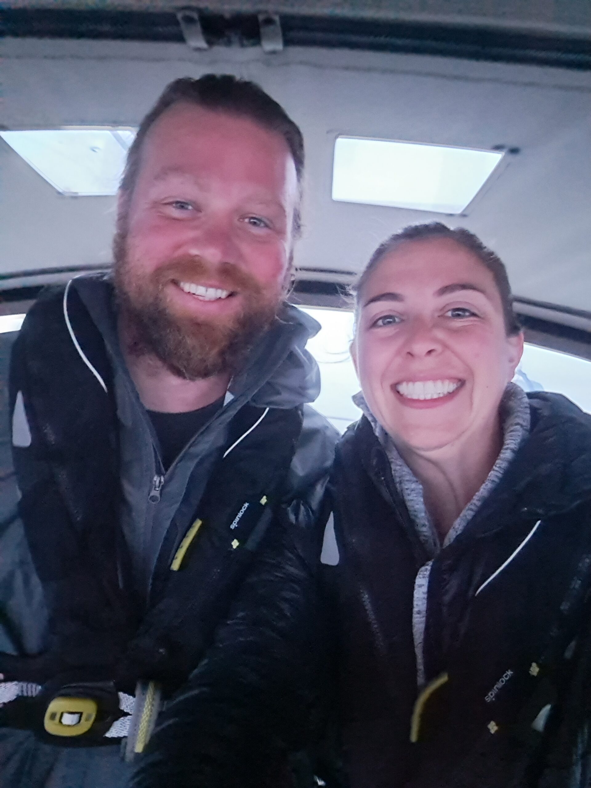
Though the weather was far from ideal – I loved our short stay in Port Hardy, and wish we would’ve tried going sooner and spent another day or two. It was much more city-like than Port McNeill and had a super cool vibe. On our way, the winds picked up to more than forecast, and we had to dock twice in more than 25 knots of wind – once at the fuel dock, and again at the public dock where we stayed for one night. Alex did an amazing job maneuvering the boat in the conditions and we won’t soon forget the adventure.
I walked through town for a bit while Alex kept an eye on the boat and the weather; later I took him to a cool fish & tackle shop I’d found. It was a warm and sunny day, and felt entirely different in town away from the wind howling across the water. The woman running the fishing shop mentioned the rarity of sunny days there, and it was clear many people were out taking advantage of the lovely weather. We enjoyed people watching from our cockpit on the public dock – many of them trying to fish or walking out to the water to watch the sunset. Alex met a guy from the boat across from us – a very interesting work boat – which goes around and cleans fish farming nets, who knew?

Bull Harbor
The following morning we left early to beat the forecast of heavy afternoon weather, and to travel with the tidal current up Goletas Channel at the north end of Vancouver Island. A popular staging area for boats planning to transit around Cape Scott to head south or Cape Caution to head north, Bull Harbor is a long, narrow, and well protected bay open to the south side of Hope Island. As we entered and rounded Norman Island, which sits in the middle of the harbor, we were greeted by a sea otter looking like it was doing sit ups in the water, but we soon realized it was pooping! Alex jokes it was a defense mechanism to scare us off. We joined a line of other sailboats anchored in the bay and went to work getting everything stowed and ready for going offshore. At the top of Bull Harbor is a narrow isthmus of land separating it from the mouth of Queen Charlotte Strait, and we could hear the surf breaking on the other side. Hope Island is private Tribal Band property, and they request you don’t go to shore unless you obtain permission from the band.

Scouring the guide books, the charts, and the weather, after lunch we discussed our plan for crossing the Nahwhitti Bar and Cape Scott for the next day or so. The Nahwhitti Bar extends across the top of Goletas Channel, and shallows to 30 feet or less in some areas, creating a shelf that can cause large increases in swell height in certain conditions. About 16 miles further on is Cape Scott, the northwest tip of Vancouver Island, where tidal currents meet, and can also sometimes kick up unpredictable waves. There are several tactics spelled out in our guides to tackle these two crossings, and in order to hit the Nahwhitti Bar at slack tide, we’d have to wake at about 3am the following morning. We did just that but neither of us had much sleep, and none of the other boats were up and moving yet either, so we decided to hold off and try the next day, when the slack tide would be another hour later in the morning.
A couple hours later, when we got up again, most of the other boats in the harbor had gone, and we watched a couple of them on AIS crossing the bar well after the slack tide, and considered maybe we were overthinking how rough the crossing would be. Regardless, by then we were committed to waiting til the next day, and were pleasantly surprised that afternoon when our friends on SV Tangent called as they were entering Bull Harbor, and we invited them to raft to us. So we spent another afternoon pouring and worrying over all the info again, but at least with great company this time. That evening we pooled our provisions and cooking skills – a move we would start to make often in the coming weeks together – and made delicious veggie tacos for dinner.

Nahwhitti Bar & Cape Scott
Having had a much better night of sleep, when we woke at 4am the next morning we were ready to go despite the dark and fog still surrounding us. With headlamps on we untied from Tangent before pulling our anchor and following them out of the harbor. We chatted over the radio as we both made our way over the bar and the conditions were so calm it wasn’t even noticeable. As we continued on, the fog lifted enough we could see the mountains of Vancouver Island on our port, and I spotted a few Humpback whales far off towards the shore, and we passed many sea otters floating about in the rolling swell. Rounding Cape Scott, the swell picked up some and indeed came from a few directions, but was not too uncomfortable. The day remained overcast as we turned south but the fog dissipated and we had some epic Humpback encounters – Alex saw one fully breach out of the water (I only saw the splash), and then one surfaced so close we slowed down and turned a bit to make sure it wasn’t right in front of us.
Southbound at Last!
Nearing Quatsino Sound, many fishing boats were out from Winter Harbor; one of them joked with us over the radio that he didn’t see any down riggers (costly gear often used for salmon fishing) on our boat. Quatsino is the first or northernmost of 7 large inlets cutting into the west coast of Vancouver Island. Turning into the sound, we watched the swells crashing onto the rocks of Kains Island below the lighthouse, and headed towards the nearest protected anchorage at North Harbor. We dropped anchor almost exactly 12 hours after we’d left Bull Harbor and Tangent arrived about an hour after us. It felt wonderful to have our first offshore passage on Chandelle under our belts!


We spent three days exploring the area by dinghy, paddle board, and on foot. Winter Harbor, the only settlement nearby, had a lovely little boardwalk lining the waterfront and a small general store. According to Wikipedia, Winter Harbor is the westernmost settlement on the west coast. Catering mostly to recreational fishing boats, we watched many sea and shore birds, including eagles, circling the edge of the water, waiting for fish scraps to be tossed by people processing their daily catch. From the edge of town we took a short hike through the trees to a small pebble beach area, passing one lone large spruce tree among the younger growth. That afternoon Alex tried fishing off the boat and caught a couple small flounder for dinner!


One day we planned a dinghy exploration with Tangent. We didn’t have a motor for our rowing dinghy, and didn’t want to take the time to put our inflatable together since we’d be going off shore again the next day – so Tangent towed us the 2 miles up Browning Inlet. Once we rounded the corner into the marsh area we broke apart and rowed about separately looking for any sign of a trail head to hike out to the beach at Grant Bay. It took quite a bit of searching and dead ends before we finally found the trail. It was quite overgrown with thick Salal bushes, and slow going trying to get through. Keeping an eye on the time, as we needed to get back to the dinghies before the tide started going back out, we ended up having to turn back well before we made the beach. All part of the adventure! Back in the dinghies we bobbed about for a while eating some snacks, and enjoying the last of the warm sun, before we tied back up for our tow back out the inlet.


Leave a Reply